Length: 19.75 km
Highest Point: 1311 m
Lowest Point: 942 m
Total Ascent: 888 m
Trail Type: Round
Trail Purpose: Hiking
Trail Location: Rural
Trail Topics: Natural beauty
Trail Markings: The trail has visible and well-distributed markings
Trail Signalization: The trail has good and complete signalization
Trail Accessibility: The trail is completely visible and suitable for hiking
Trail Difficulty: 1
Physical Difficulty: 2
Landscape: Forest 80%
Dangerous Spots: No
Springs: No
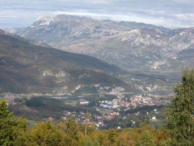
Viewpoints: Kukunovac
Shelters: No
Services on the Trail: No
Accommodation: No
Cultural goods: Barutana, Vincek Botanical Garden
Time Period: All year round
Safety Recommendation: The trail is safe
Is Having a Guide: No
GPS Track i Description Maker: Slavko Lukovac
GSM Signal Availability: The signal is steady
Recommendation for Trail Improvement: Equipment.
